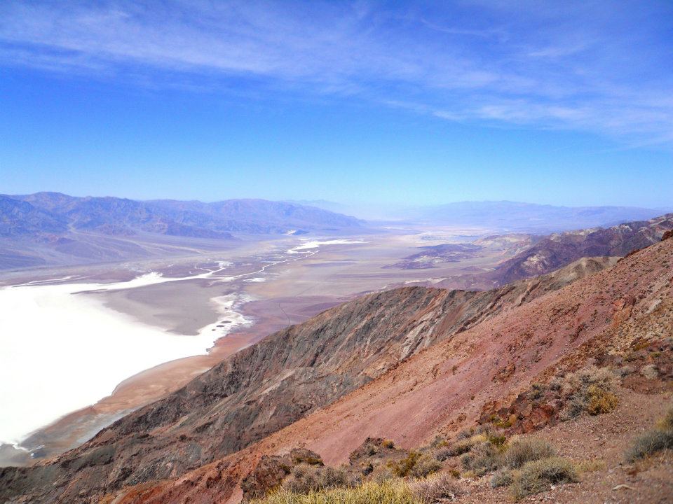
The Death Valley park line sits about seven miles west of town, and Furnace Creek is a 41 mile drive from Main Street. The ground in between is packed with ghost towns, desert art, old mining sites, and wide-open trails.
Beatty has long been known as the Gateway to Death Valley, and this entrance to the National Park has plenty to offer for the whole trip in, ghost towns, desert art, old mining sites, and true middle-of-nowhere views. Here's what's worth the stop.
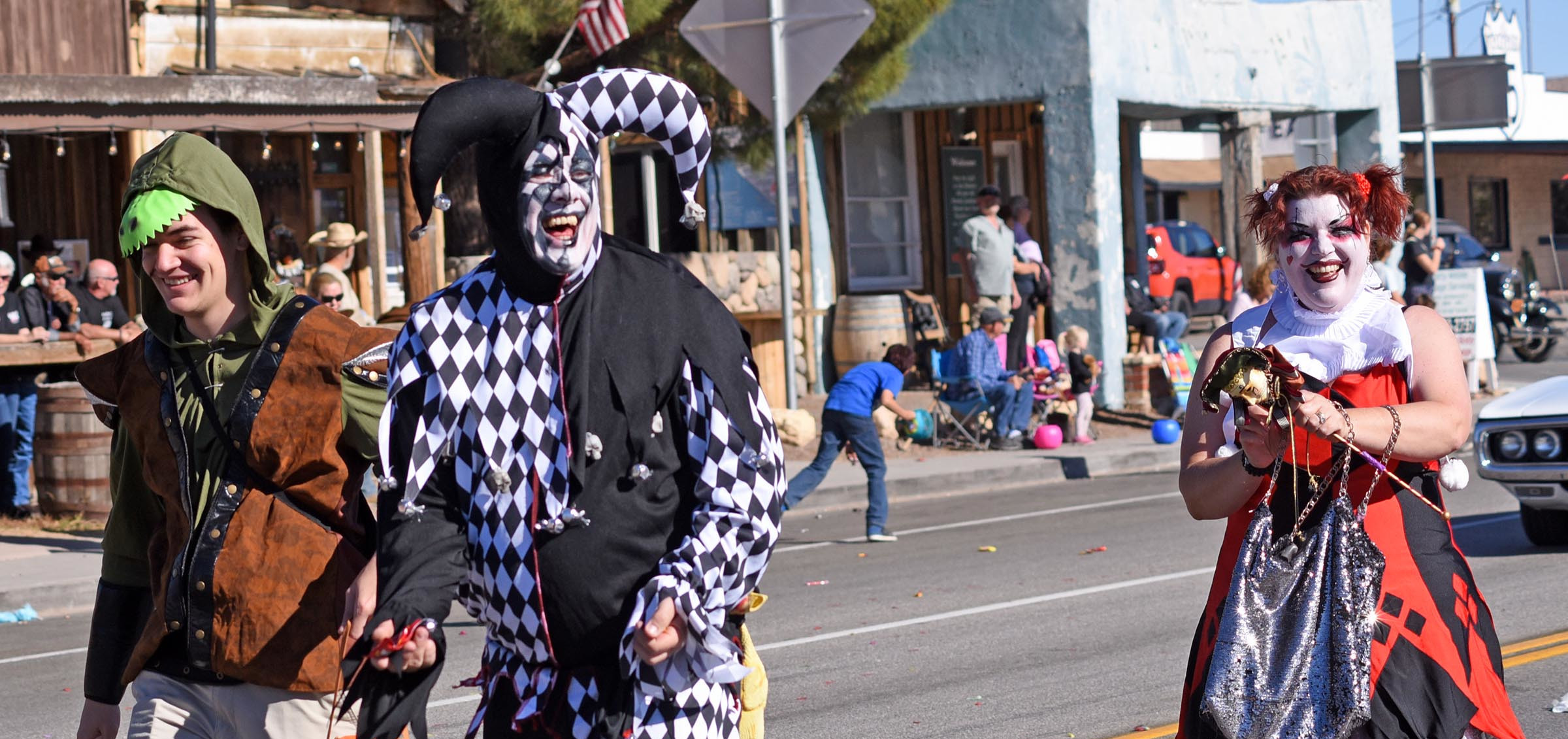
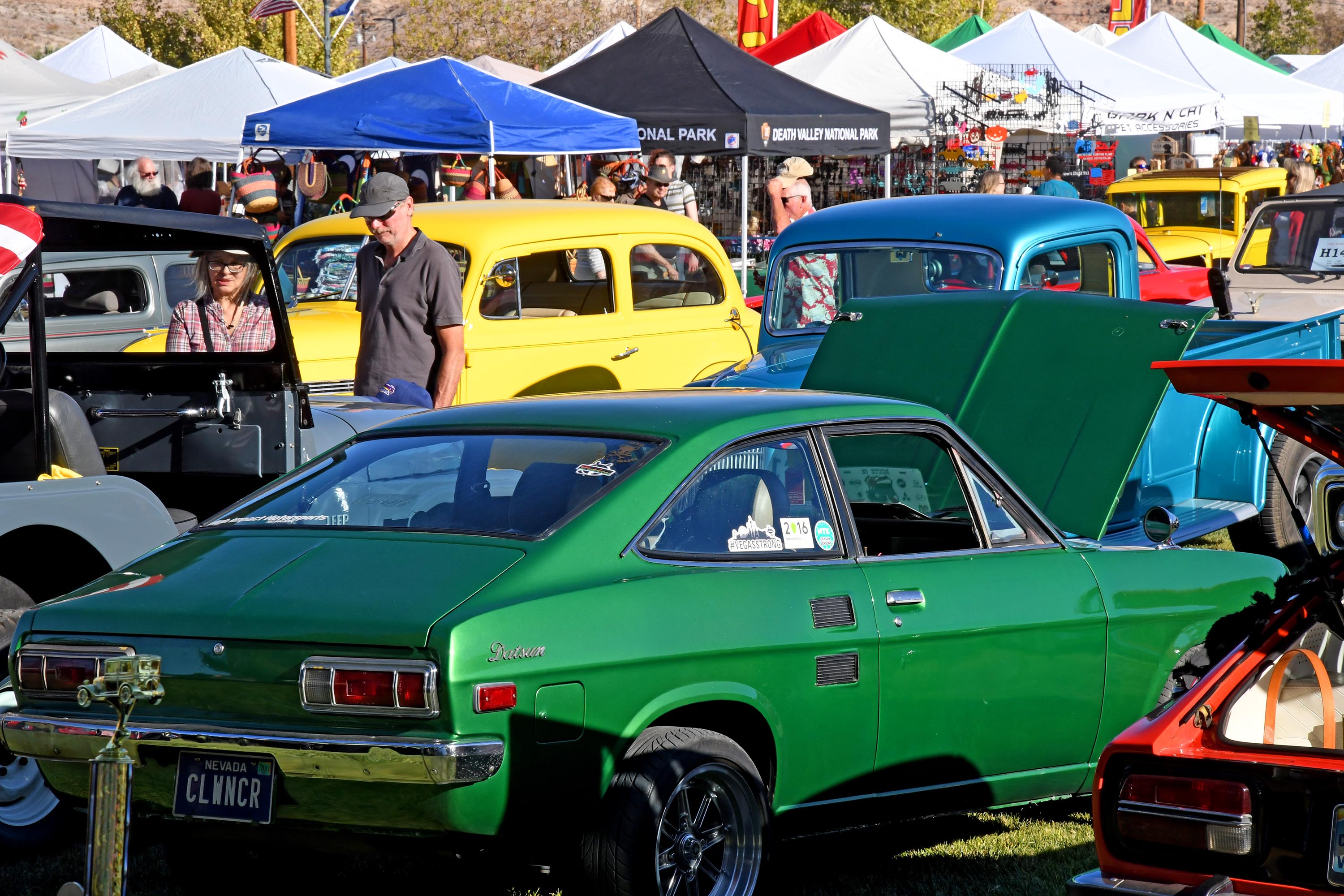
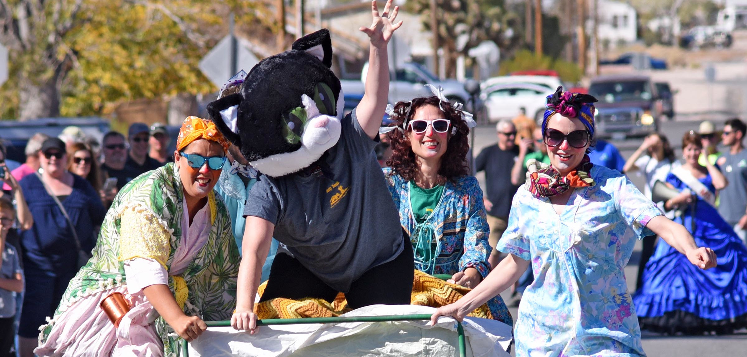
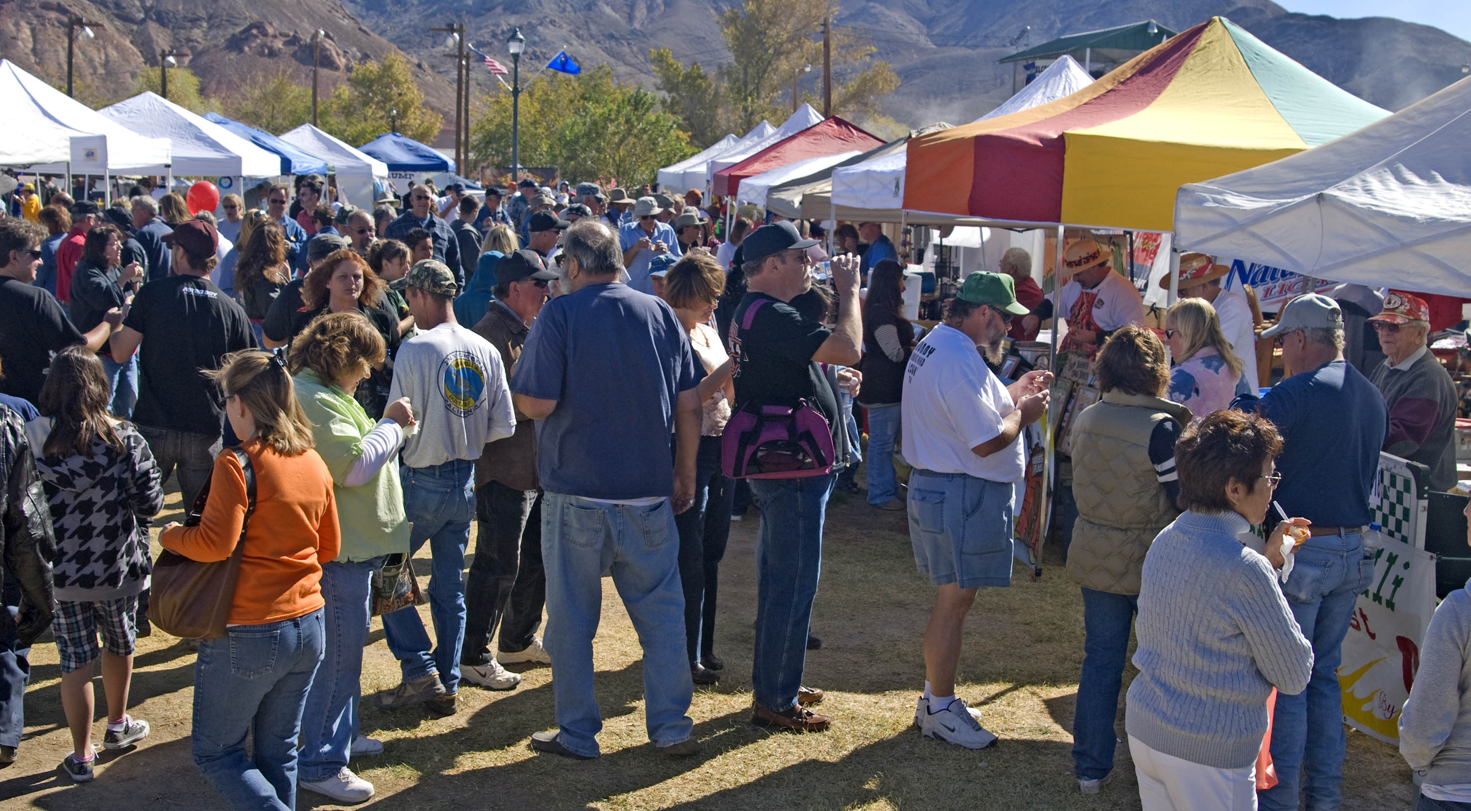
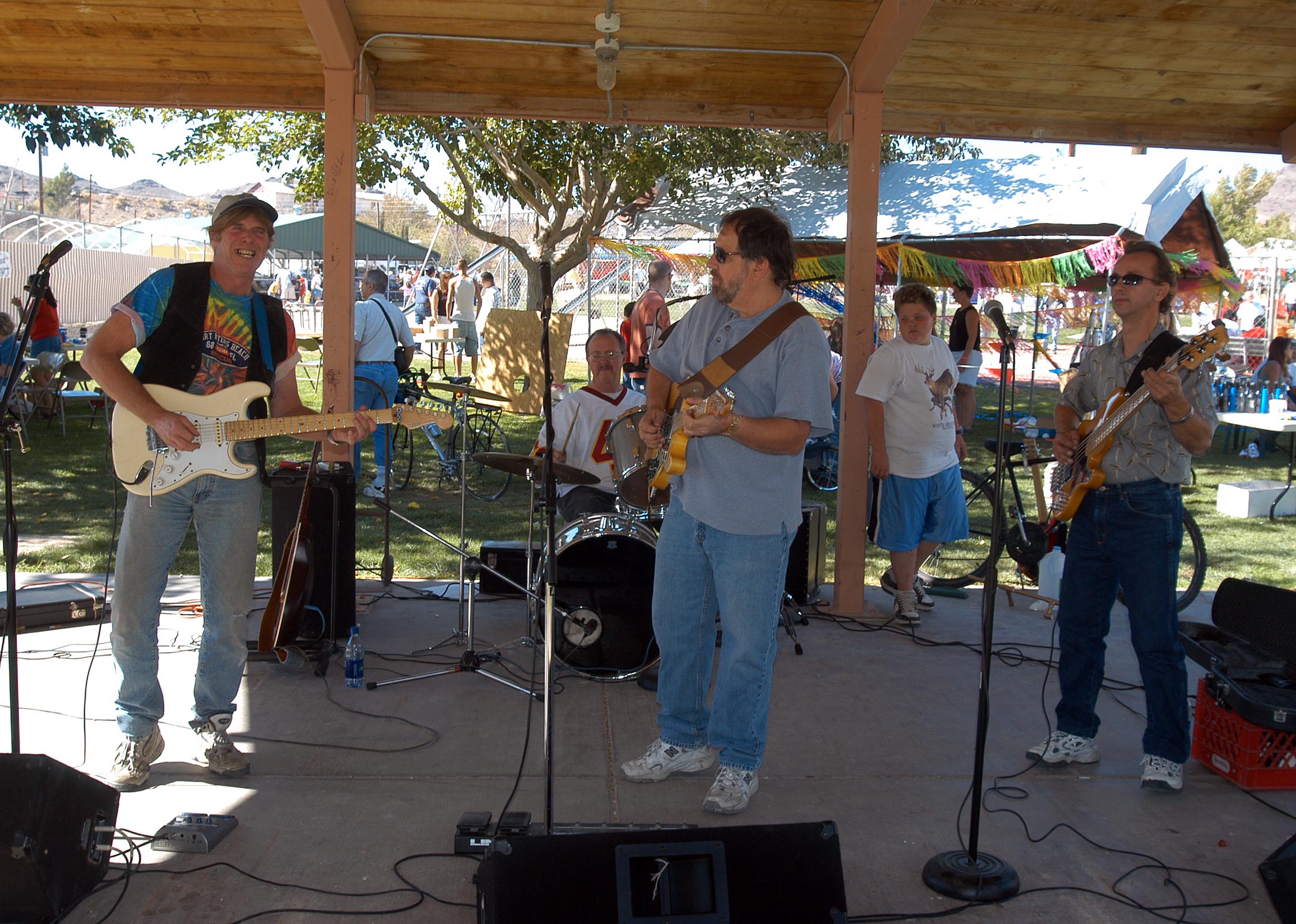
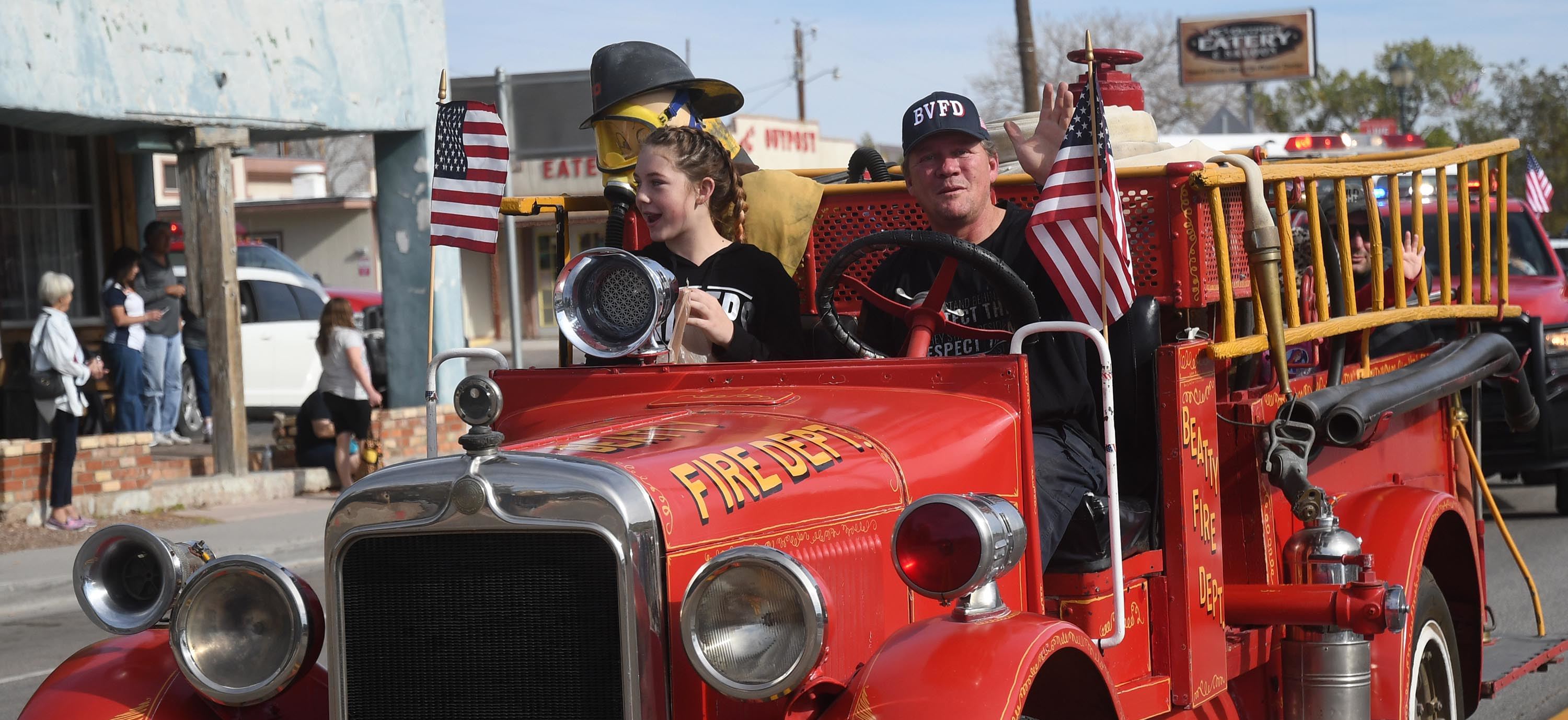
Beatty Days is our biggest weekend of the year, and the Chamber has been putting it on for decades. It takes over Main Street and Cottonwood Park every fall around Halloween weekend.
You'll find a parade, a classic car show, the chili cook-off, bed races, cornhole, and a desert art contest, plus vendors and live music in the park. It's the one weekend the whole town turns out, so come early if you want a parking spot anywhere near Main Street.
Beatty Days 2026 Schedule
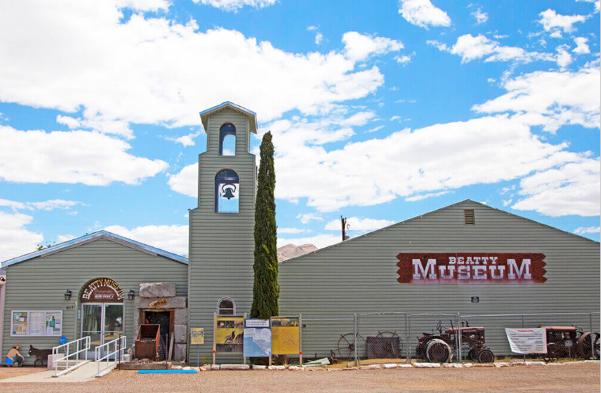
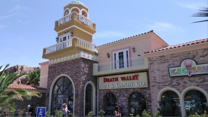
Right on Main Street, no drive required.
One of the biggest candy stores in the state, right in Beatty.
Ghostly sculptures rising out of the desert, just before Rhyolite.
Boomtown to bust, four miles west of town.

You're in the middle of the desert on your way to the area's premier ghost town, and suddenly off to the left you see a towering woman and a row of ghostly white forms. That's the Goldwell Open Air Museum, featuring the Painted Lady, a ghostly reinterpretation of The Last Supper, the Ghost Rider on a bicycle, a desert flower, and more. You might think this is a strange spot for a modern art sculpture garden, but each piece ties back to the history of the area, right down to the penguin following the miner.

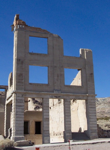
Boom to bust is the story of most Nevada mining towns, but Rhyolite is the extreme version. Born in 1905 after gold-laced rock turned up in the Bullfrog Mining District, it grew into a real city. Built of stone and concrete, it had three-story office buildings, banks, churches, an opera house, hotels, a school, and dozens of streets, all with plumbing, electricity, and telephone service. There was even a stock exchange, with promoters selling speculative shares to investors in New York and San Francisco. Not to mention the red light district. Then it collapsed almost as fast as it rose, and by the 1910s it was already fading into the ghost town it is today.
While you're there, stop by the Kelly Bottle House, the Goldwell Open Air Museum, and the historic Rhyolite train depot. A dirt road off Hwy 374 also leads to the old Bullfrog/Rhyolite Cemetery, used from 1904 to 1912, with a memorial plaque at the entrance dedicated in 1959. Most graves are unmarked or carry only a simple wood or rock cross.
"Crack your window around mile 16 and you'll feel Death Valley before you see it."
The Mining Tunnel — Just past Death Valley mile post 14, an abandoned tunnel sits in a rock outcropping on the right, a few short feet from the road. It runs less than a hundred feet, tall enough for most people to stand upright, with a flat floor and no holes. What the miner was after is something of a mystery, but the work shows he knew what he was doing. The Park Service has deemed it unsafe and closed it to entry, though it's short enough that a flashlight or camera flash still shows you what's inside. Watch for local wildlife and give them room, they prefer their solitude.

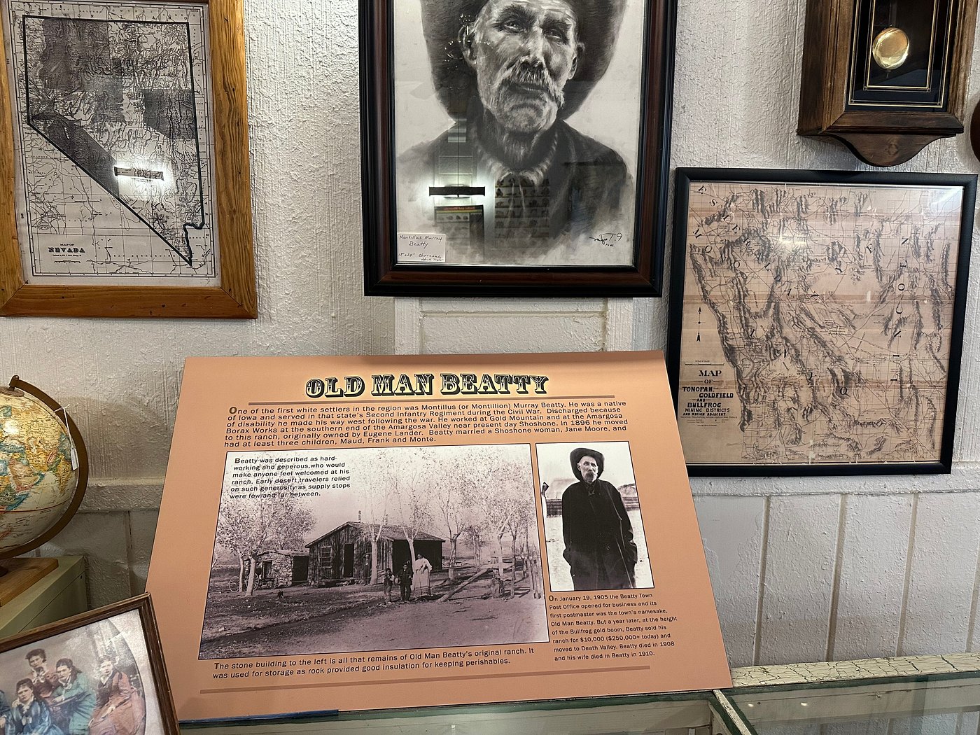
The museum you'll visit today is only the latest step in what has been an ever evolving effort to preserve the history of the town, the county, and the Bullfrog Mining District.
It was started by three women of Beatty who had played in Rhyolite and roamed the hills of the Bullfrog Mining District. The first museum, established in 1995, was just a small cottage. That collection of documents, books, photos, and other artifacts has since grown into its current home on Beatty's Main Street. The newest addition is an outdoor display of equipment used in the old mining district.
Open daily, 10am to 4pm · 417 W Main Street, Beatty, NV · (775) 553-2303
Desert Hills Cemetery — Beatty's original pioneer cemetery, right in town on A Avenue south of Cottonwood Drive. Burials date back to the 1904 Bullfrog Mining District boom, and many graves are marked only by a simple wood or rock cross, most without a name.

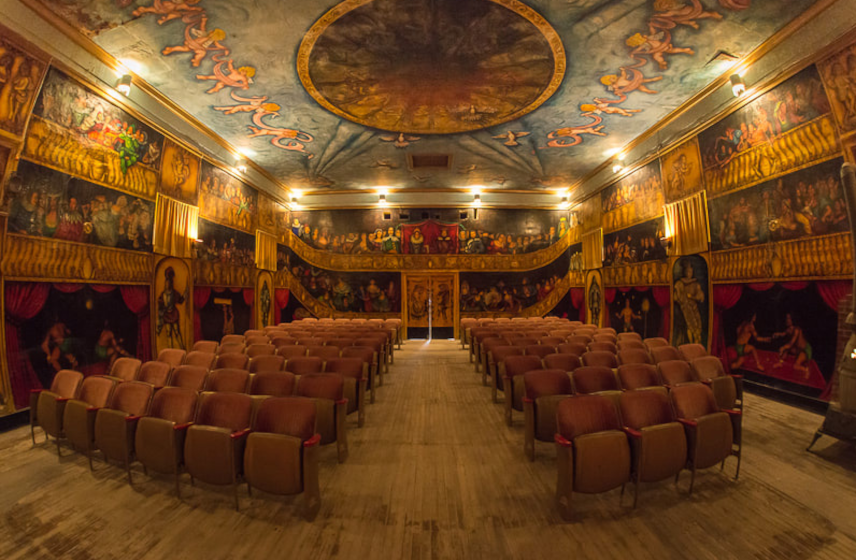
Marta Becket turned an old social hall into a one-of-a-kind theater that pulls together dance, theater, and art in a way you won't see anywhere else in the world. She hand-painted an entire audience onto the walls, characters who might have turned out for an opera back in the 16th century, so she'd never perform to an empty room. The ceiling carries a mural of its own with cherubs, clouds, ladies playing music, and white doves. Even if you can't catch a show, the building itself is worth the stop.
CA Hwy 127 & State Line Rd, Death Valley Junction, CA · (760) 852-4441

Bloom season starts around mid-February if winter and early spring bring enough rain. Low elevations usually go first and hold into March, with the higher country following through April, May, and June. It varies a lot year to year, so if you're chasing a big bloom, watch the Park Service updates as spring gets closer. Look all you want, but leave them be. Picking wildflowers in the park is not allowed.

October through May is the comfortable stretch. Winter days generally run in the 60s and 70s with nights that can dip below freezing, the high peaks pick up snow, and it's the least crowded time of year. Spring is the busiest. If hiking is the plan, November through March is your window.

Summer starts early out here and it doesn't mess around. Average highs on the valley floor run about 110 in June, 116 in July, and 115 in August. Plenty of folks still come just to stand in it, and the high country stays pleasant when the valley floor doesn't. The Park Service says a gallon of water per person per day, and double that in summer. Hike early and high, and leave the low trails alone in the afternoon.
Beatty is known as the scenic gateway to Death Valley, but there's a whole lot of desert waiting right here too. Spend your mornings out exploring the washes and the old mining country, then duck out of the afternoon heat in the local shops and the casino. Here are a few places to start.

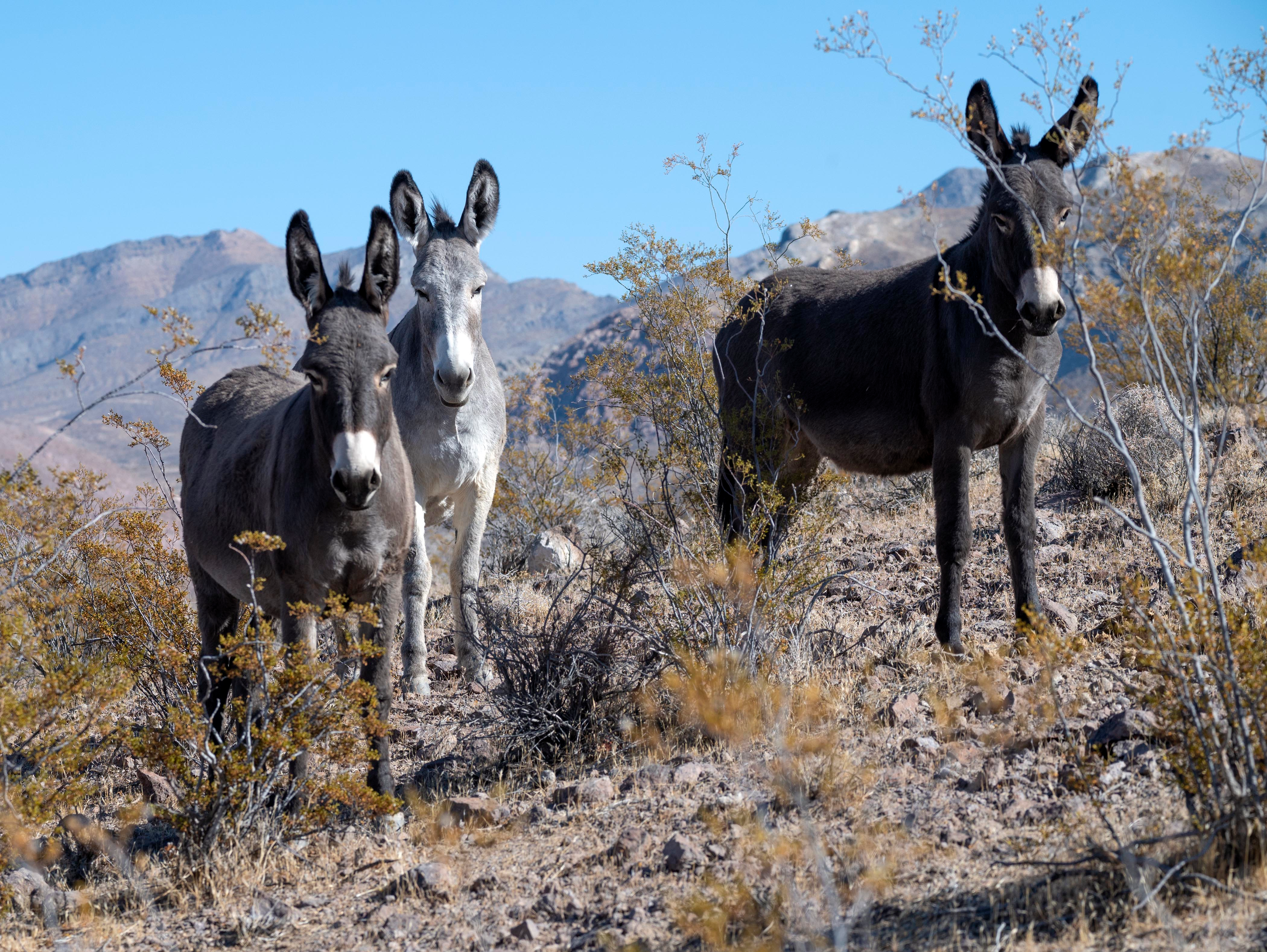
These real-life Eeyores were brought to the desert in the mid-19th century by mining prospectors for carrying loads and riding. Descended from Mediterranean stock brought up from Mexico, they turned out to be well suited to the climate and the terrain. They worked hard hauling daily water and supplies out to the mining camps, and some of them even worked underground.
When the mining booms died off, the burros were out of a job. Many were simply turned loose to roam the desert. Their descendants are still out there today and can be seen in and around Beatty and Rhyolite.
Species Springs — Another watering hole, tucked into Tarantula Canyon about five miles southeast of Beatty.
Vanderbilt Springs and Bombo's Pond — South of town, right next to Highway 95. Hidden behind the tamarisk trees, this one is a local favorite for catch-and-release fishing.

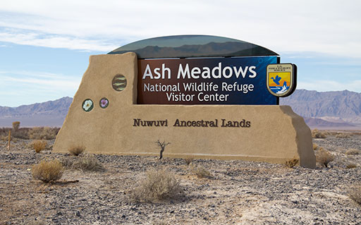
Ash Meadows sits in the Amargosa Desert, part of the Mojave Desert ecoregion, and it is one of the last good examples of desert oasis habitat left in the southwest. The refuge is a major discharge point for a vast underground aquifer reaching more than 100 miles to the northeast. Water comes to the surface in more than thirty seeps and springs, creating a complex mix of wet habitats you won't find anywhere else nearby. Nearly all of it is fossil water, believed to have entered the system tens of thousands of years ago.
Stream channels and wetlands are scattered across the refuge. To the north and west are the remnants of Carson Slough, drained and mined for peat back in the 1960s, and sand dunes take over in the western and southern parts. Tucked inside the refuge is Devils Hole, a detached unit of Death Valley National Park protecting the endangered Devils Hole pupfish, found nowhere else on Earth.
Torrance Ranch Preserve — About 7 miles north of Beatty on US-95, in Oasis Valley. This Nature Conservancy preserve restored a stretch of the upper Amargosa River watershed and is now home to the endangered Amargosa toad and a stopover for migratory birds. A short trail leads to a boardwalk and picnic area, open to the public.

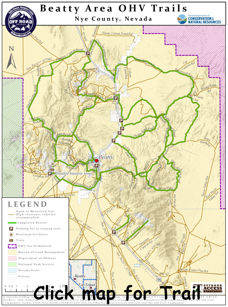
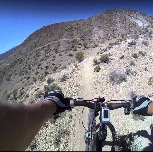
These proving grounds put the extreme in extreme. Beatty has rock climbing areas if that's your thing, and a huge trail system for mountain biking and hiking, built out for beginners and experienced riders alike. If you're more into dirt bikes, ATVs, or Jeep adventures, check out the Bullfrog Historical Mining District Course, a 42.7 mile route that runs you through the history and geology of the district. Map and course guide booklets are $10 at the Beatty Chamber of Commerce, the Beatty Museum, the VFW, or through our Gift Shop.

Spicer Ranch is a 120 acre working ranch with cows and horses, two large pastures of green grass, and a number of fresh water ponds that provide habitat for the Amargosa toad. It's open to the public year-round for mountain biking and hiking, with a large public parking lot and a kiosk holding maps of the area trails.
The first seven miles break into four trails: the Spicer Ranch Trail at 2.5 miles, the Storm Trail at .75 miles, the Southpond Mountain Trail at 1 mile, and the Dynamite Trail at 2 miles. They range from easy to difficult, and there are another 30 miles of trail open on adjacent BLM land.
Pull up the Town Map for exact turns, or see what's happening around town while you're here.
Open the Town Map See What's Happening