This international "treasure hunting" sport requires a GPS unit, a method of transportation, and a sense of adventure. Here is where to start.
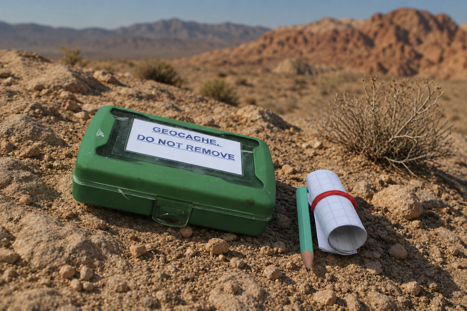
Geocaching is a modern-day treasure hunt played with coordinates instead of a map and a shovel. Someone hides a small, weatherproof container out in the world and posts its location online. You track it down, sign the logbook tucked inside, and trade a small trinket if you like — take something, leave something of equal or greater value, then put the cache back exactly where you found it.
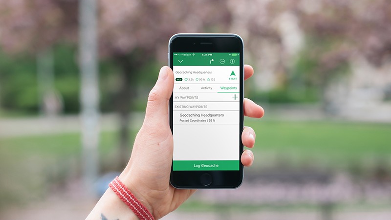
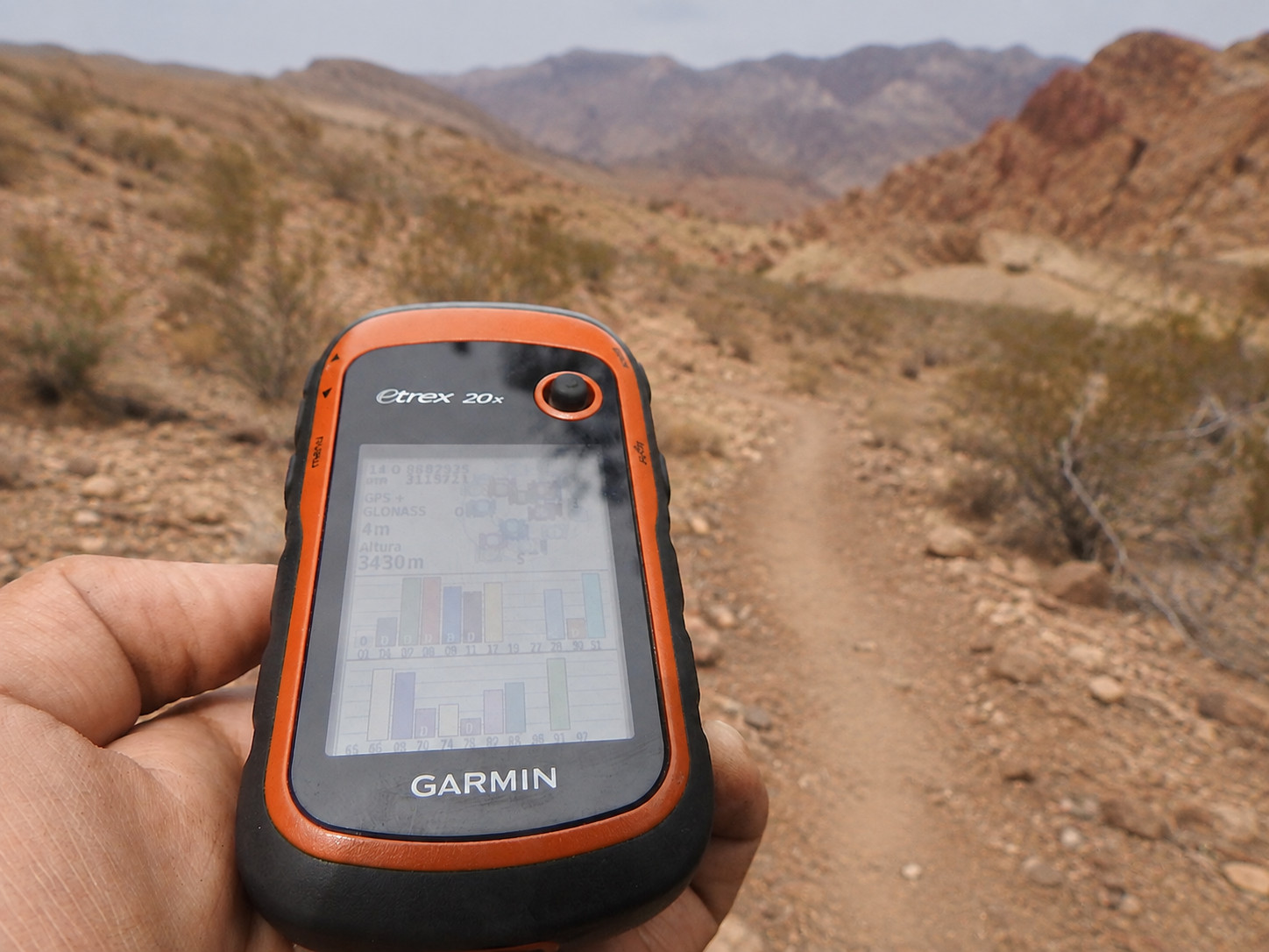
Most people play through the free Geocaching® app on a smartphone now, though a handheld GPS unit still works fine out where cell service runs thin. However you play, the desert around Beatty gives you a lot of ground to cover.
Learn what geocaching is all about and how to get started. The official guide walks you through it in five steps, from opening the app to signing the log sheet and posting your find. It takes about two minutes to read, and it covers the part most people wonder about, which is what you're supposed to do once you actually have the container in your hands.
A plain guide to caching with little ones. What to pack, how to pick a cache they can actually find on their own, and what to do once they've found it. Look for caches rated one star for difficulty and terrain, and go bigger on size so there's something inside to trade. Raid the toy box before you leave so nobody comes home empty-handed.
Not every cache is a box under a rock. Some run you through a series of stages, some make you solve a puzzle before you get the real coordinates, and some have no container at all. This page walks through every type you'll run into in the app, so you know what you're signing up for before you drive out there.
There are millions of geocaches hidden around the world, and there are probably some near you right now. Get the free Official Geocaching app, set up a free account, and the map fills in with everything hidden nearby. It doesn't cost anything to play and you don't need any gear beyond the phone in your pocket.
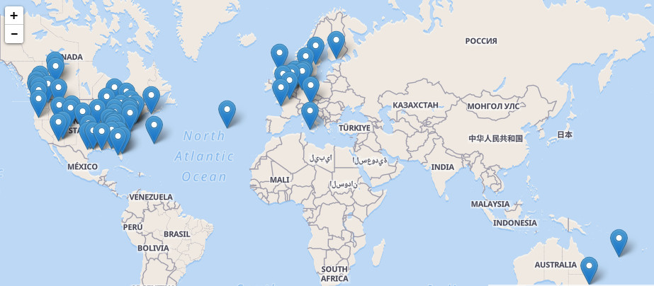
Quick way to find geocaches around the Beatty Area. The map opens centered on town, so you can see what's out there before you ever leave the house. Zoom out toward Rhyolite and the Amargosa Valley to turn up plenty more. Tap any pin to open that cache's page and read the details.
Physical caches aren't allowed inside Death Valley National Park, but EarthCaches are. There's no container to hunt for. You go to the coordinates, read the geology lesson written for that spot, answer a question or two about what you're looking at, and log it. Death Valley has several.
The Beatty area is well suited to it — wide-open BLM land, old mining roads, and a lot of ground that doesn't see many visitors. One local favorite sits in the historic cemetery just outside Rhyolite ghost town, where the hide is pieced together from clues on the old headstones.
One thing worth knowing before you go: physical geocaches aren't permitted inside Death Valley National Park itself, so plan your hunt for the public land around Beatty and Rhyolite rather than across the park boundary. If you'd rather not create a Geocaching.com account, the free, open-source c:geo app taps into the same cache database.